Workshop for knowledge and technology transfer: on 27-28 October 2014, as a part of the GisNS project.
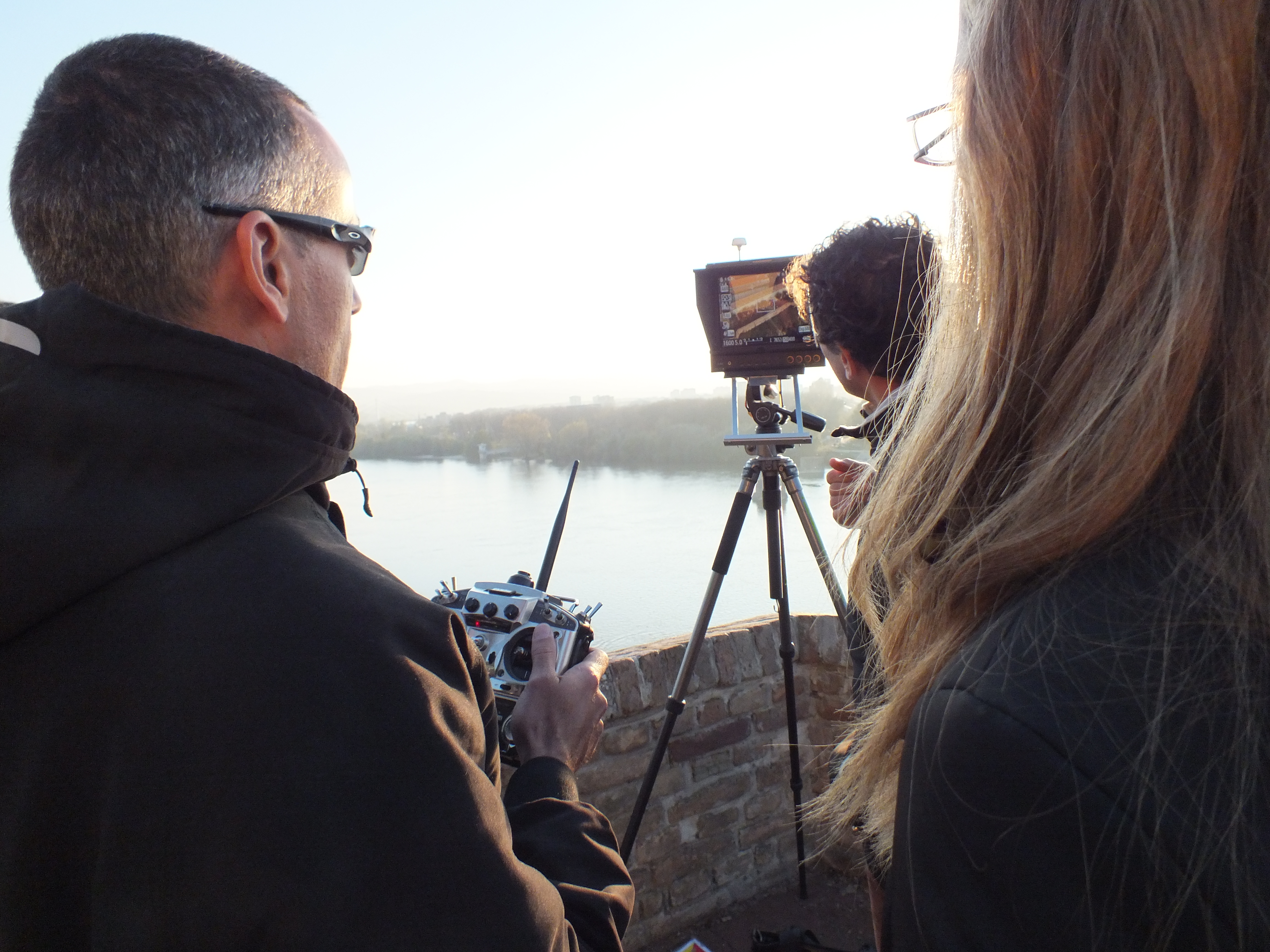
In a two day workshop, the upper part of Petrovaradin fortress was surveyed using multirotor-like UAV platform (drone).
The workshop was held in Novi Sad, under the leadership of FBK. It was focused on 3D surveying and modeling, with particular attention to the image-based and photogrammetric approach, using specific UAV platform.
The workshop consisted of practical demonstrations with image acquisition on site with the aim of 3D model building using photogrammetry. The data was later processed by FBK team.
As a result ortho-photo and 3D model of upper part of Petrovaradin fortress were made, which can be used for further research and education in diverse scientific and non-scientific fields as are architecture, cultural heritage, tourism.
The results of the surveying could be seen here.
The workshop was attended by diverse participants, experts and students, with technical and humanistic background, coming from academia and cultural institution.
The workshop was led by FBK team and associates:
Marco Dubbini
Mario Gattelli (http://www.salengineering.it/temp/)
Bojana Gruska.